Sustainable Drainage

Developers Designers Community Planners and approvers
Grassy hill, path, Glastonbury Tor

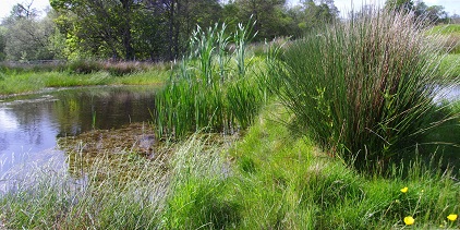
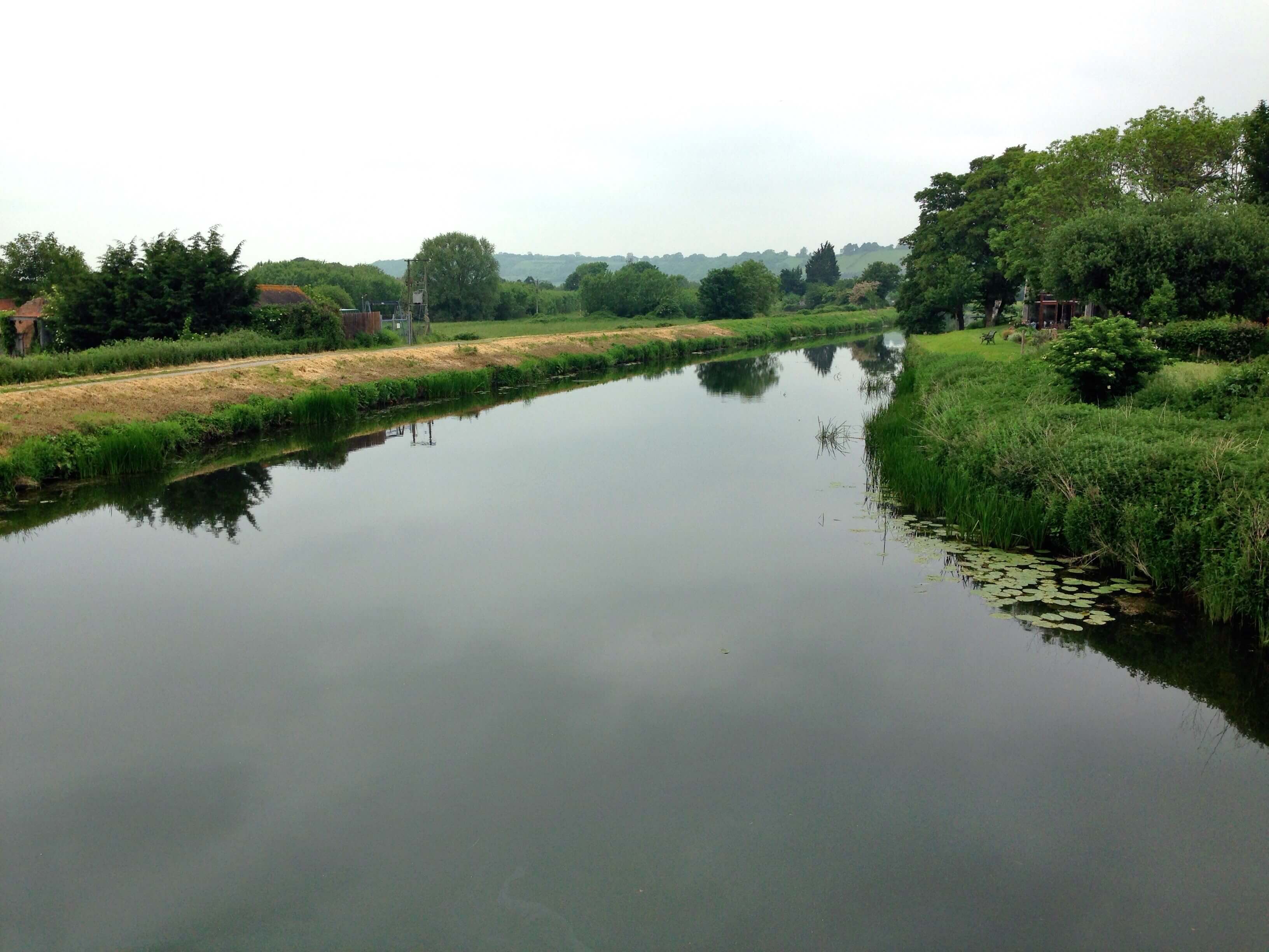
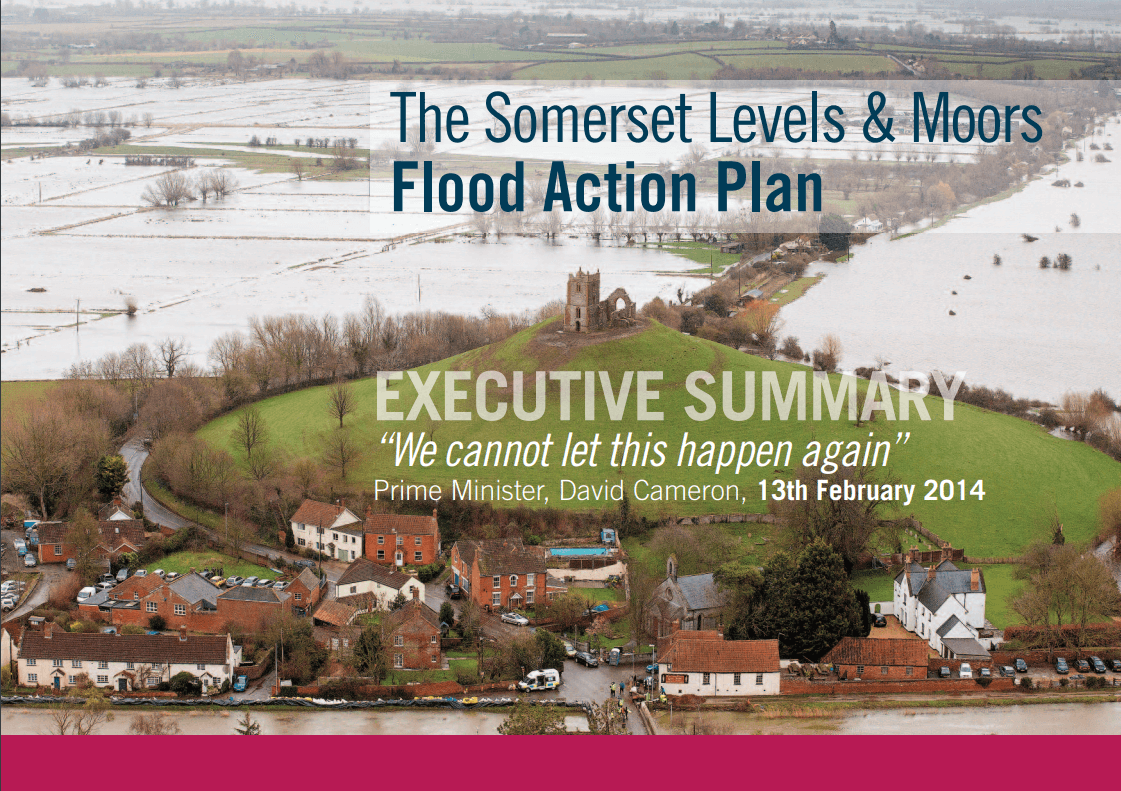
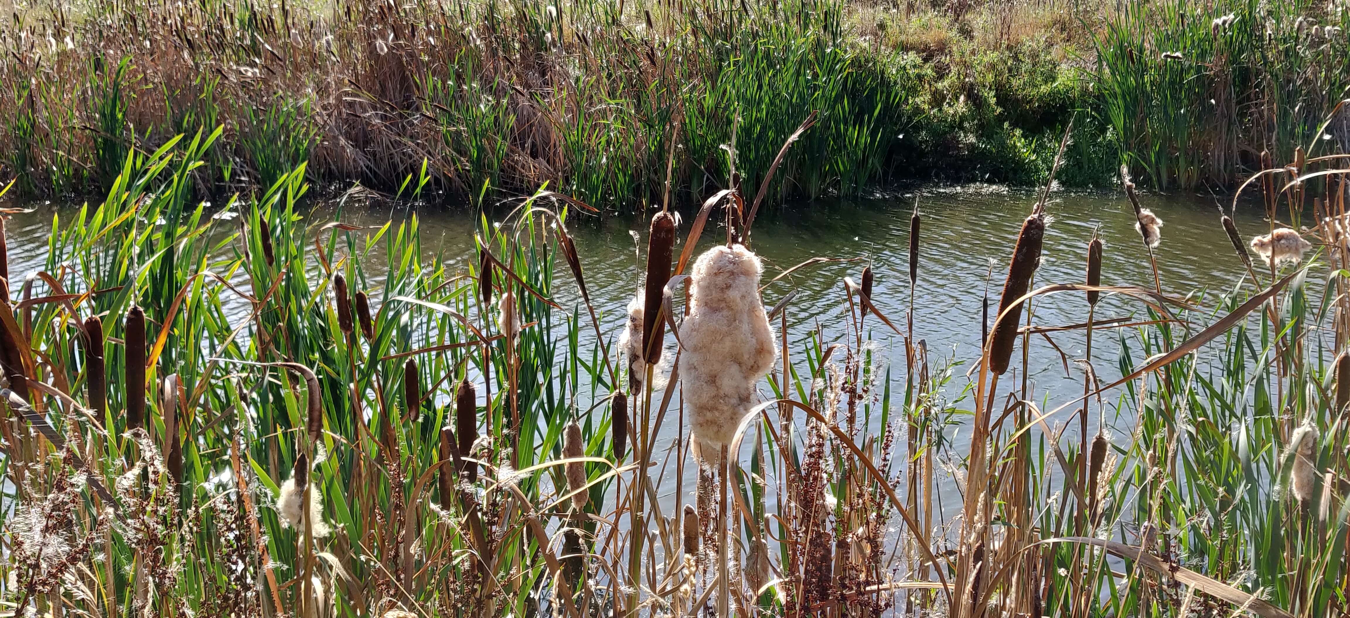
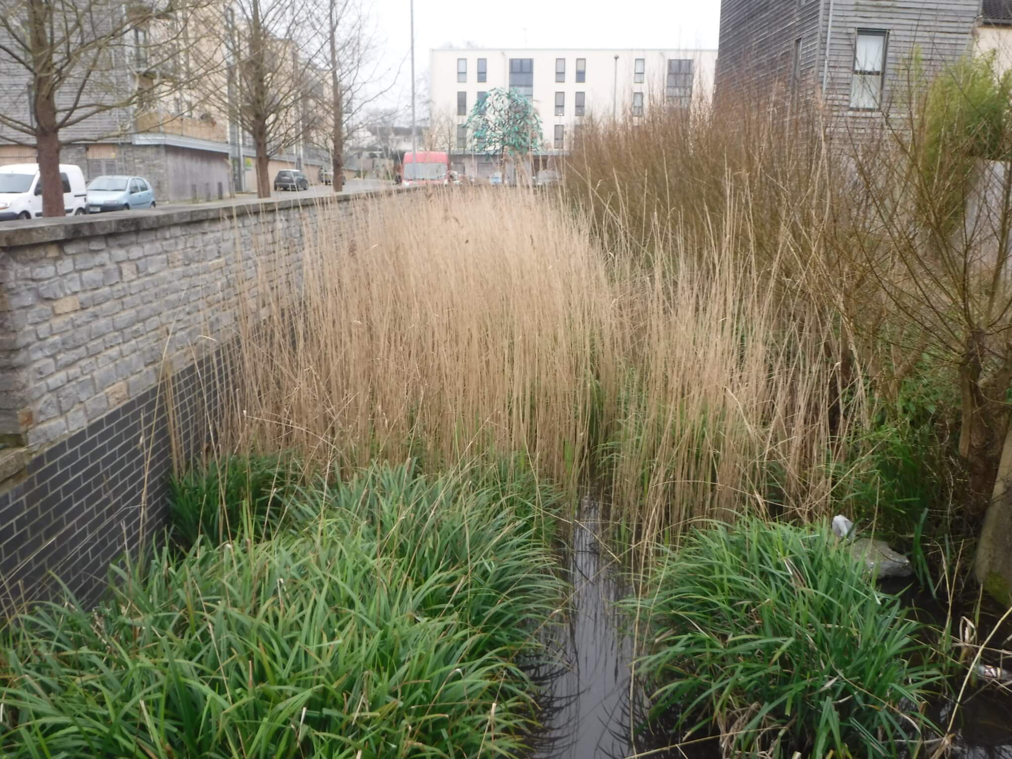
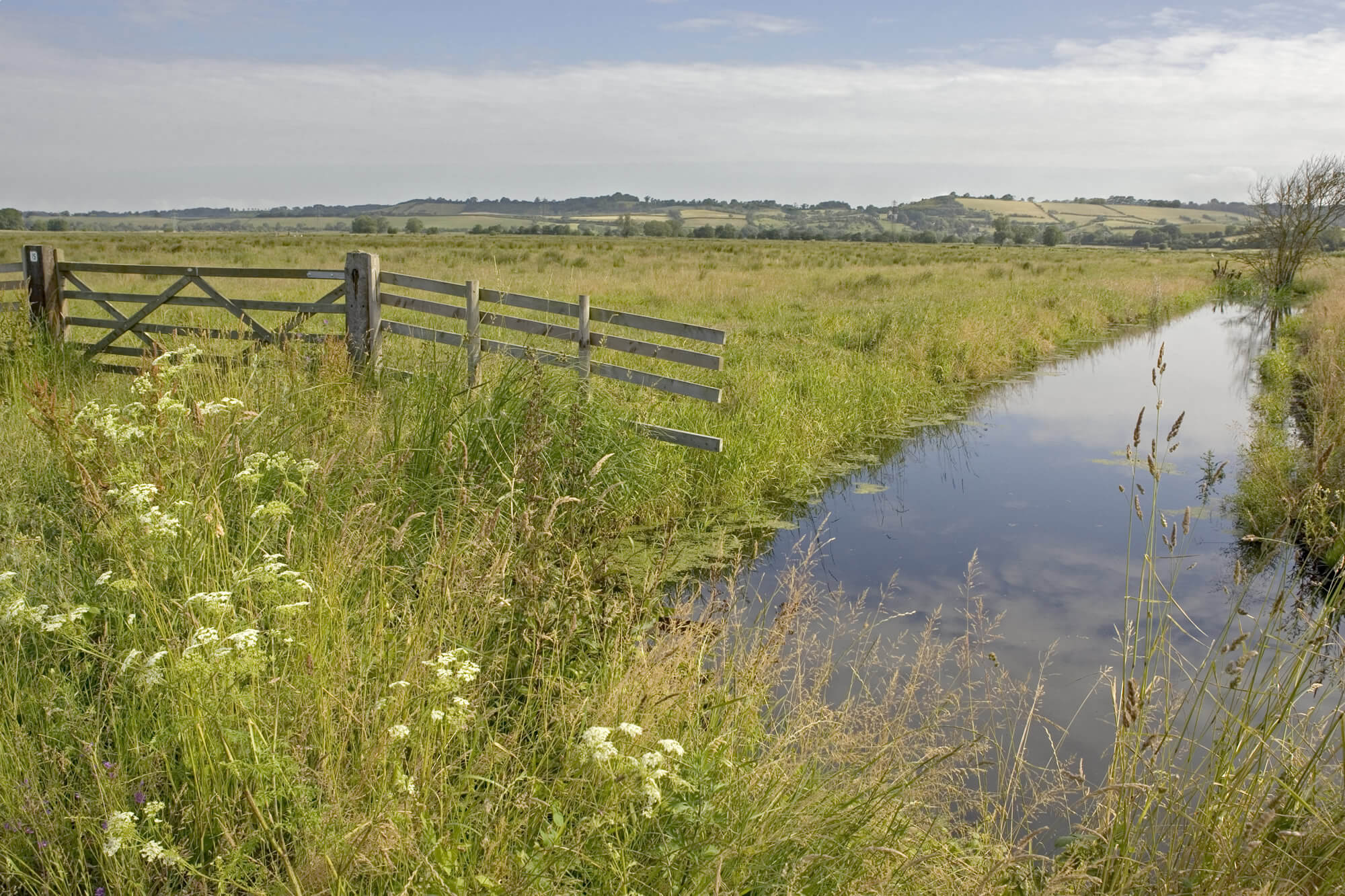
Sustainable Drainage Systems (SuDS) help to manage flood risk within Somerset. They help to protect homes, businesses, roads and services like schools and hospitals. They control the amount of rainfall and pollutants which run off paved surfaces, and enter our rivers, the Somerset Levels and eventually the sea. Well-designed SuDS also contribute to our resilience to climate change, and provide habitats for native wildlife in the county. They also provide places for communities to meet, play, exercise and enjoy nature.

This website has been developed to provide guidance, information, and useful links on SuDS for developers, planners and approvers, designers and community groups in Somerset. It also sets out Somerset Council's local SuDS design standards for Somerset. 


Climate change


Climate change will affect the varied landscapes in Somerset in many ways. Wetter winters and more severe weather events will lead to more flooding. Combined with a rising sea level, this will place communities in low-lying areas, such as the Somerset Levels and Moors, at higher risk. Warmer and drier summers will see an increase in the risk of drought and added pressure on water supplies from a growing population.


In February 2019, the former County Council and the four District Councils (now the unitary authority, Somerset Council) declared ‘a Climate Emergency’. This included a commitment to make Somerset carbon neutral and resilient to the impacts of climate change. The local authorities prepared a Climate Emergency Strategy for Somerset. Work is underway on the ‘Adapting the Levels’ project. A partnership of local authorities, organisations, farmers and land managers will use natural processes to adapt to future climate change, flood risk and water availability.  


SuDS can help communities build resilience against climate change. Features such as ponds and basins can store water in residential areas during storm events, to reduce flooding to communities downstream. Leafy and grassy SuDS features, like tree pits and green roofs, can provide a cooling effect against rising temperatures. Water butts and tanks can be used to collect and store rainwater and re-use it in the home, lowering the demand for water in times of drought. 


Water


Wide river with grassy banks in the Somerset Levels

As the Somerset Levels lie near or below sea level, and are drained by a network of man-made channels, the area is at high risk of flooding. The severe flood event of 2013/14 affected 600 homes, flooded 17,000 acres of land and cost the local economy £147.5m. In urban centres, such as Taunton, Yeovil and Minehead, flooding is caused when heavy rain falls on paved surfaces and overwhelms drainage systems. Somerset also contributes important water resources to the south west region, with reservoirs in the county providing 25% of the Wessex Water clean water supply. 


Image of the front cover of the Somerset Levels and Moors Flood Action Plan

The Somerset Levels and Moors Flood Action Plan and the Somerset Rivers Authority aim to tackle flooding in Somerset, by making communities more resilient to flooding. They look to reduce the frequency, duration and depth of flooding, improve urban water management, while protecting the Somerset Levels and Moors. The Action Plan identifies the important role of SuDS in achieving these aims, as part of a ‘whole catchment’ approach to manage flood risk and water resources. Somerset Catchment Partnership also work on a river catchment scale. Farmers and landowners use natural processes to slow the flow of water to manage flood risk, reduce soil erosion, improve water quality and encourage wildlife.


Housing development overlooking a grassy SuDS basin

The Somerset Levels and Moors Ramsar Site and the River Axe Special Area of Conservation have been identified as being in an unfavourable condition, due to the high levels of phosphates. SuDS as an important solution to reduce the levels of phosphates entering watercourses, and support developments in becoming ‘nutrient neutral’.


Development and community


SuDS basin feature with ornamental grasses

The demand for new homes in Somerset means that high quality, sustainable new developments are needed. A review of SuDS in Somerset, funded by the Somerset Rivers Authority, was completed in 2018. It found that many recent developments in Somerset have not fulfilled their potential in delivering good quality SuDS schemes which improve water quality, climate change resilience, biodiversity and amenity.  Integrating SuDS at an early design stage with green infrastructure and open space will save money and help to meet many other planning policies.  


Biodiversity


Footpath along a grassy field, with blue skies in the background

Somerset’s diverse landscapes are home to a range of special habitats, from upland moorlands to the flat wetlands of the Levels and the coastline. This makes Somerset one of the most biologically diverse areas of the UK. 


Close up of a river with flowing water, bull rushes and reeds on the banks.

Somerset Wildlife Trust is working to create corridors, like hedgerows and wetlands, to connect up currently isolated wildlife areas. This will form part of the national Nature Recovery Network, a connected landscape of habitats for plants and animals. Somerset, particularly the Levels and Mendip Hills, provides a key habitat for bees, butterflies and other insects which pollinate plants. The Somerset Pollinator Action Plan (prepared by Somerset Council, Friends of the Earth and Somerset Wildlife Trust) sets out ways to increase the number of pollinating insects in the county. This includes encouraging ‘pollinator-friendly’ features in new developments. 


Concrete-banked channel (or rill) in a new development, with grasses and vegetation planted in the channel .

Grassy and water-based SuDS, like ponds, swales and green roofs, can help to create habitats for wildlife to live and spread within developed areas. These types of SuDS features can also be planted with grasses and flowers native to Somerset, to encourage local plants and pollinating insects.  


Watercourse flowing through a rural meadow, with a gate on the bank

In July 2022, the former County Council and the four District Councils (now the unitary authority, Somerset Council), declared an ‘Ecological Emergency’. This included delivery of a Local Nature Recovery Strategy and a review of planning policy, to reverse existing negative impacts, and develop strategies to mitigate the future decline of habitats in Somerset.


This website has been developed in partnership with local stakeholders in Somerset including Somerset Rivers Authority, Somerset Council (Lead Local Flood Authority, Local Planning Authority, Highways Authority), Wessex Water, Somerset Drainage Boards Consortium, Environment Agency, Highways Authority, Natural England, West Somerset Flood Board, Somerset Wildlife Trust, Somerset Catchment Partnership and West Country Rivers Trust. 

Ever wonder where the rain goes?

This video, produced by Susdrain, gives a useful introduction to why we need SuDS, what they are and what benefits they can bring.
Developers Designers Community Planners and approvers