Introduction
Somerset has a distinct and varied landscape, from upland hills, to moors and marshland, to coastline. As a result, there is no "one size fits all" approach to designing drainage systems in the County.
The following sections provide area-specific information on local planning policy and other considerations when designing SuDS across Somerset, including within Exmoor National Park, and the Somerset Levels and Moors.
On 1st April 2023, Somerset Council became a unitary authority and the Local Planning Authority responsible for producing the Local Plan for Somerset. Until the Somerset Local Plan is adopted, existing Local Plans remain in place for the geographic areas of the former district councils.

Biodiversity Net Gain
Biodiversity Net Gain is a strategy to contribute to the recovery of nature while developing land. It makes sure that wildlife habitats are in a better state post-development than they were before the development.
Habitat loss must try to be avoided due to development. If this cannot be achieved, a replacement habitat must be created either on the development site, or off-site. As a last resort, statutory credits can be bought from the government, to be invested in habitat creation elsewhere in England.

Biodiversity Net Gain will apply from November 2023 for all developments in the Town and Country Planning Act 1990, unless exempt. It will apply to small sites from April 2024. Multifunctional SuDS can help to meet both Biodiversity Net Gain and surface water management requirements within development sites.
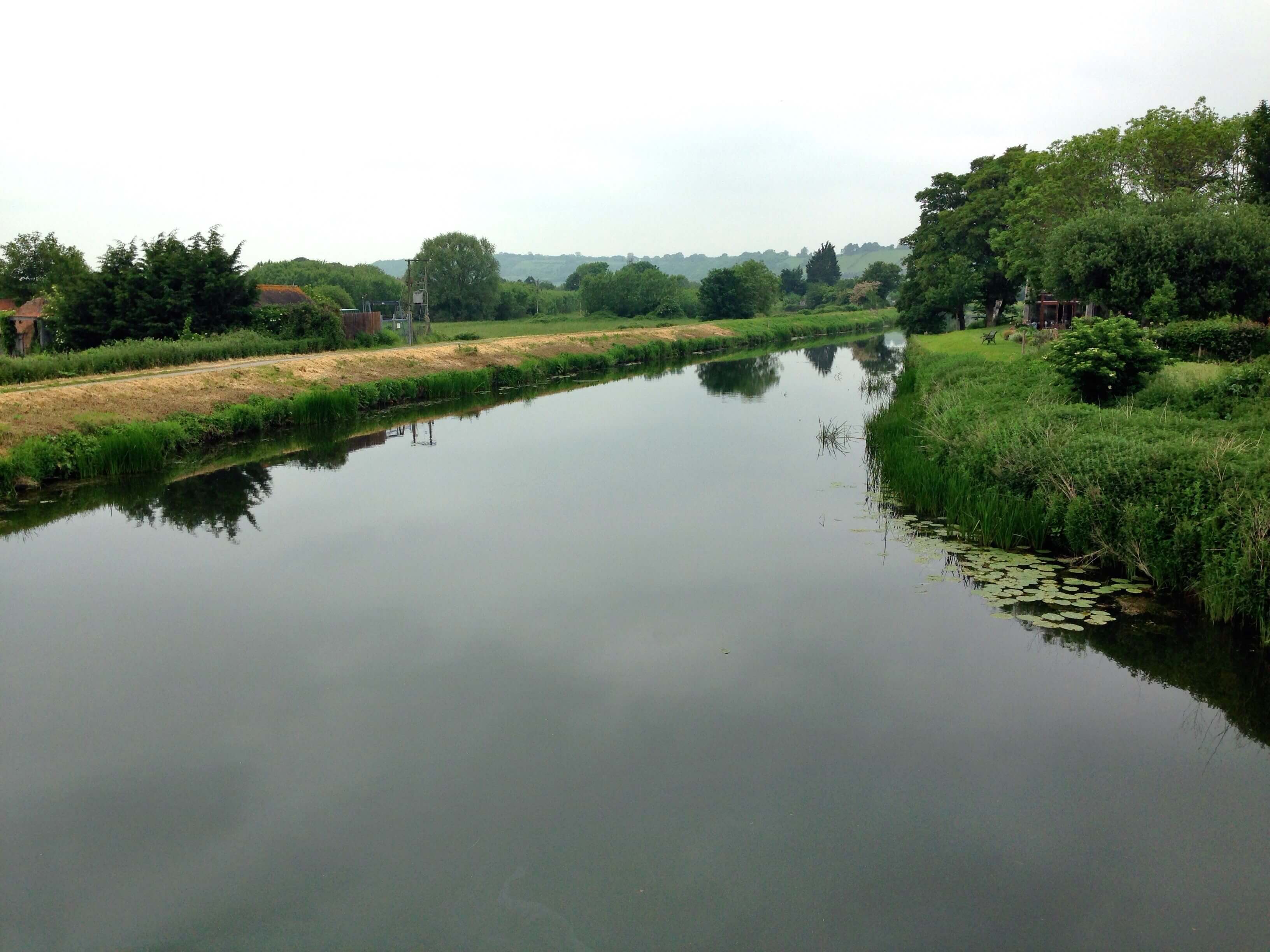
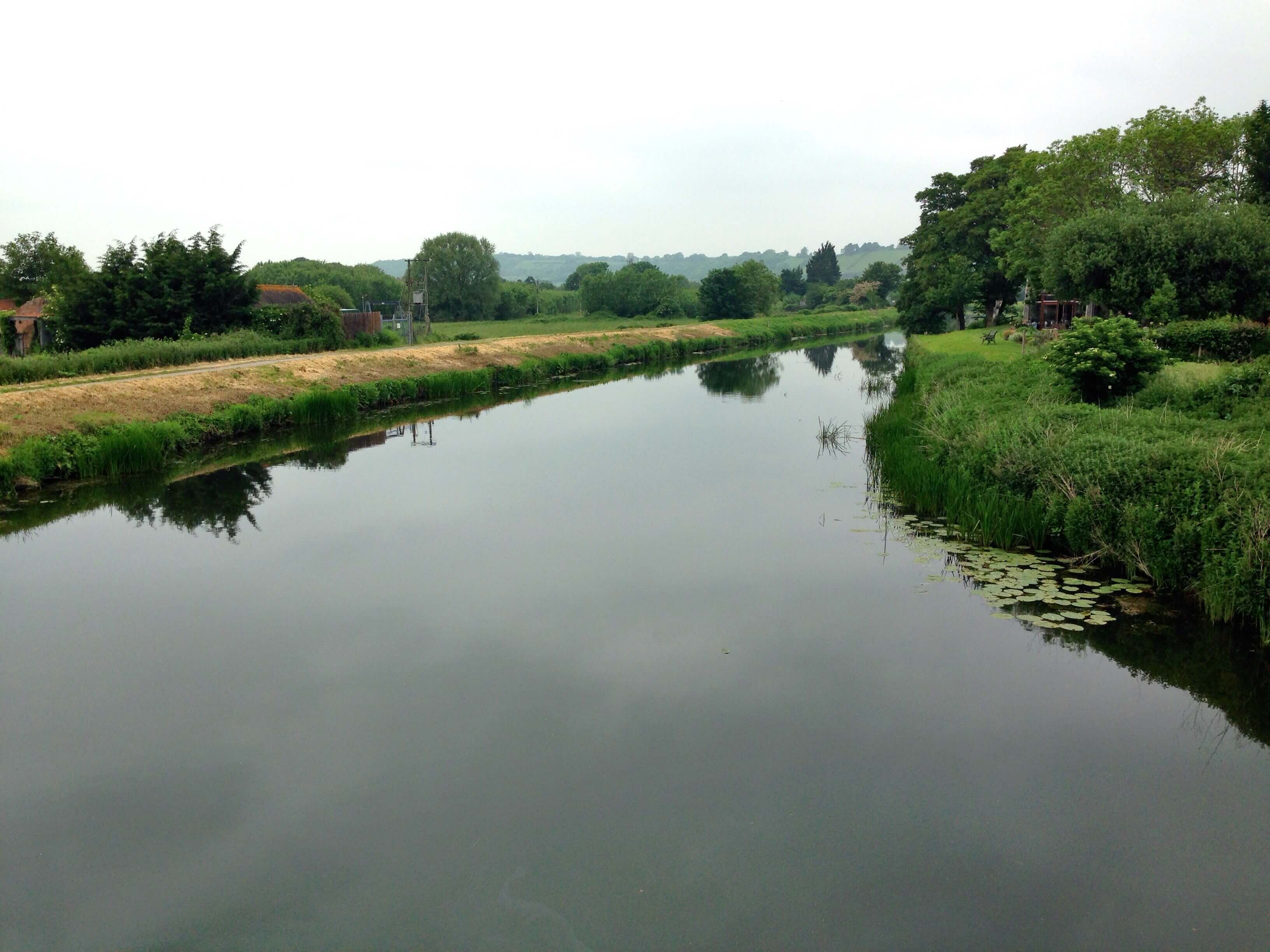
Somerset Levels
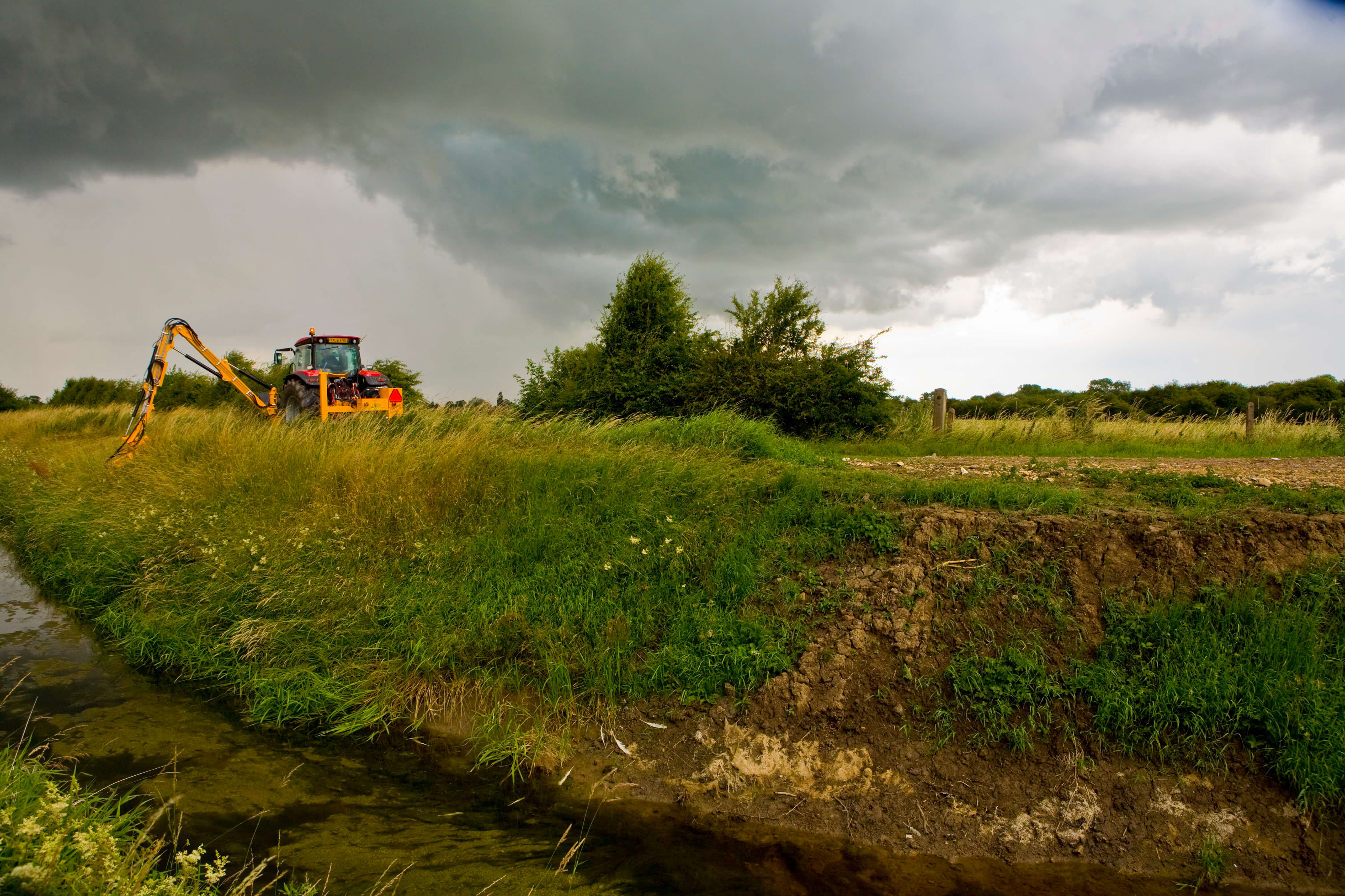
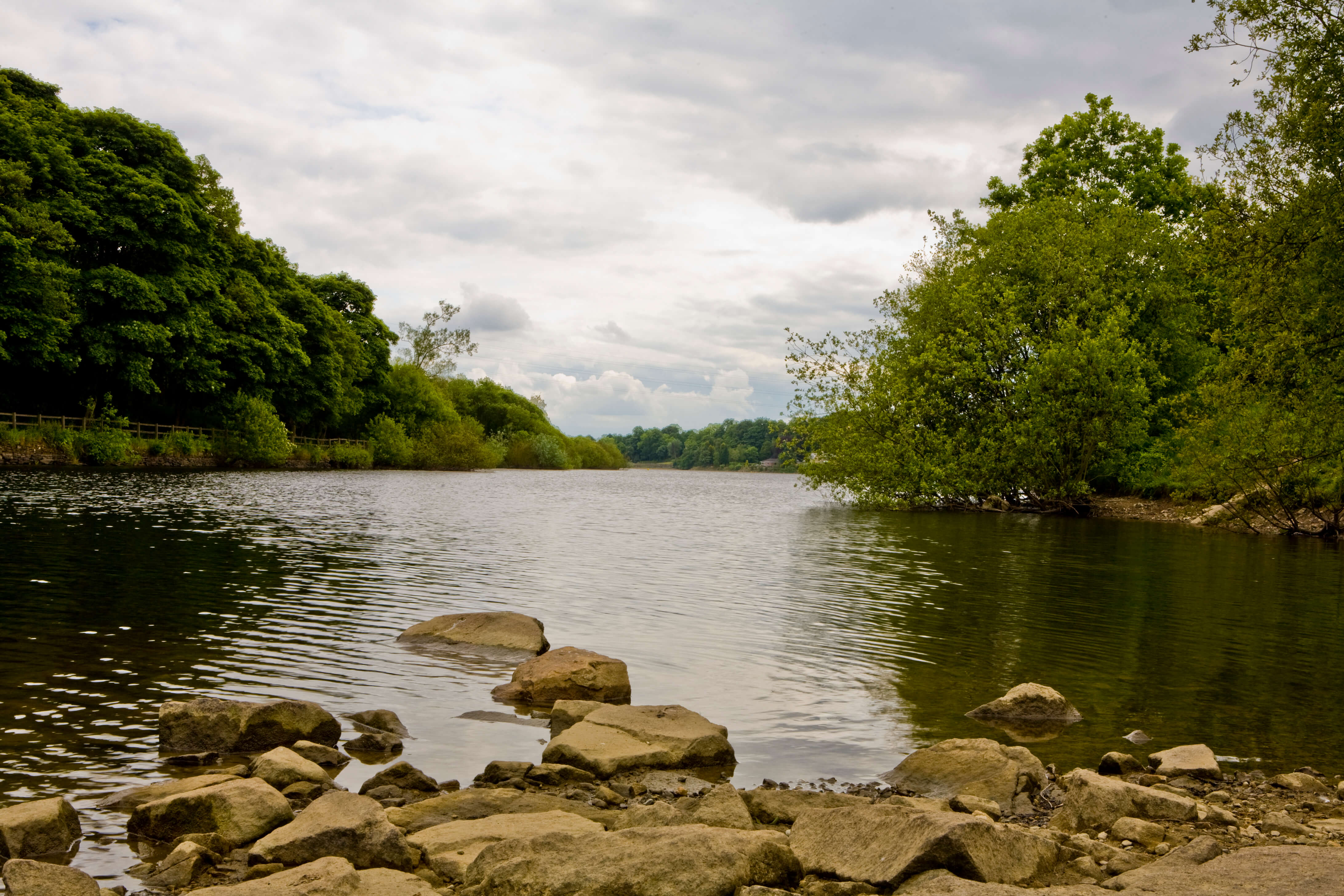
 Internal Drainage District
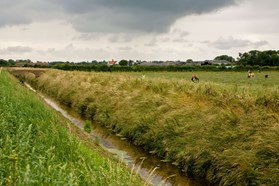
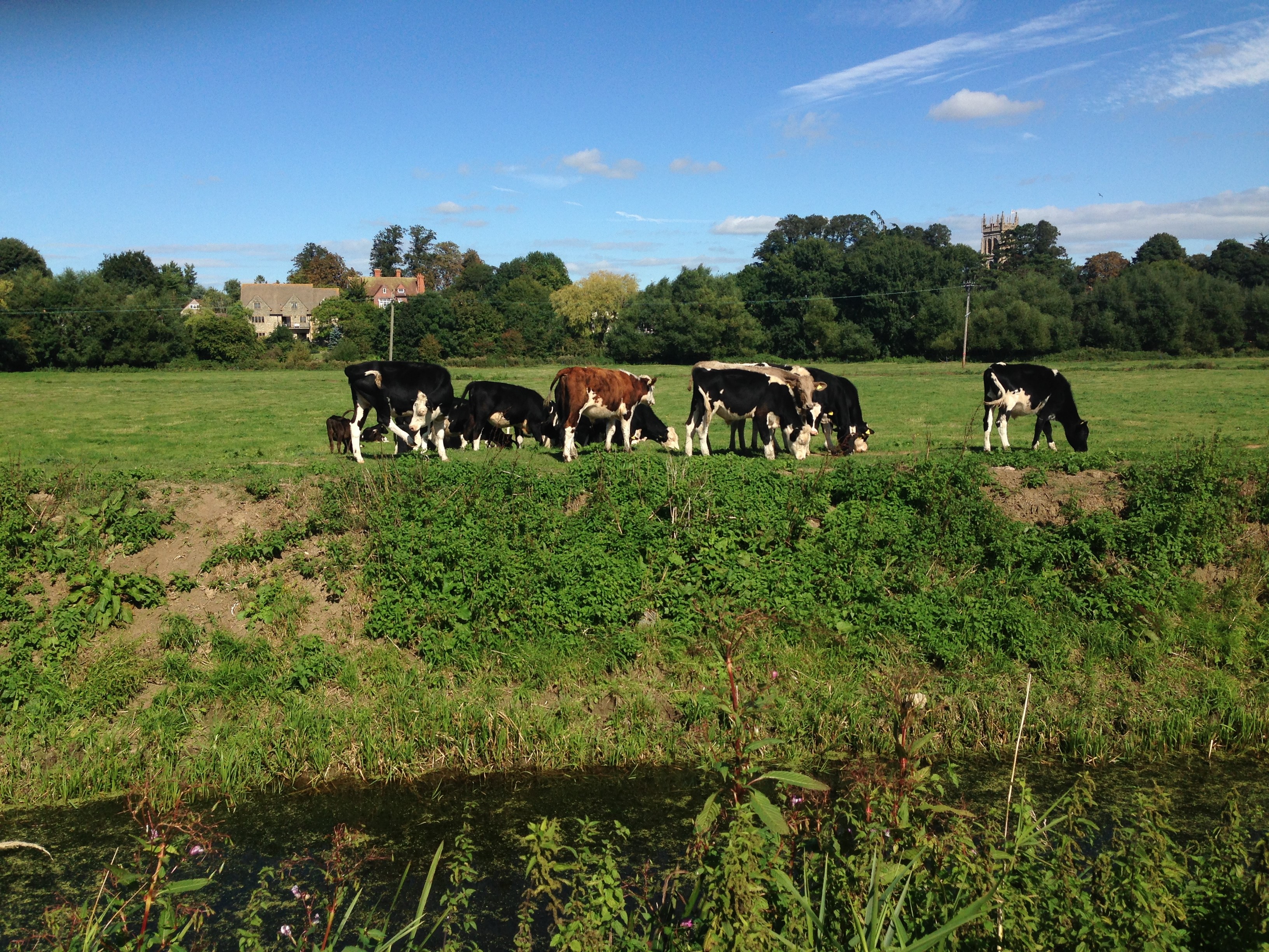
The Somerset Levels and Moors are a nationally and internationally designated area of low-lying coastal plain and wetland, which extend from the Mendips to the Blackdown Hills. They are a closely managed system, which balance the needs of wildlife, water supply and flood risk.
The area is rich in biodiversity, with an extensive wetland habitat and large wading bird populations. Development within, or in catchments draining into, the IDB, will alter the quantity and quality of water which enters the Somerset Levels.
Water within the Levels is managed within three Internal Drainage Boards (IDBs), which form the Somerset Drainage Boards Consortium (SDBC):
- North Somerset Levels Drainage Board
- Axe Brue Drainage Board
- Parrett Drainage Board
 Working within an IDB
- Byelaws are in place for any works within 9 metres of any watercourse in the Drainage Board area.
- Developments need to maintain buffer strips alongside watercourses, to allow IDB access for maintenance works, and allow wildlife to move. The buffer strips also provide opportunities to incorporate natural SuDS and green infrastructure, such as swales and filter strips.
 Environmental designations
- Several species are important to the habitat of the Levels, including water vole, eel, otter, and breeding wader birds (e.g. Lapwing and Curlew).
- Environmental gain is expected in new developments, under Somerset Drainage Boards Consortium policy.
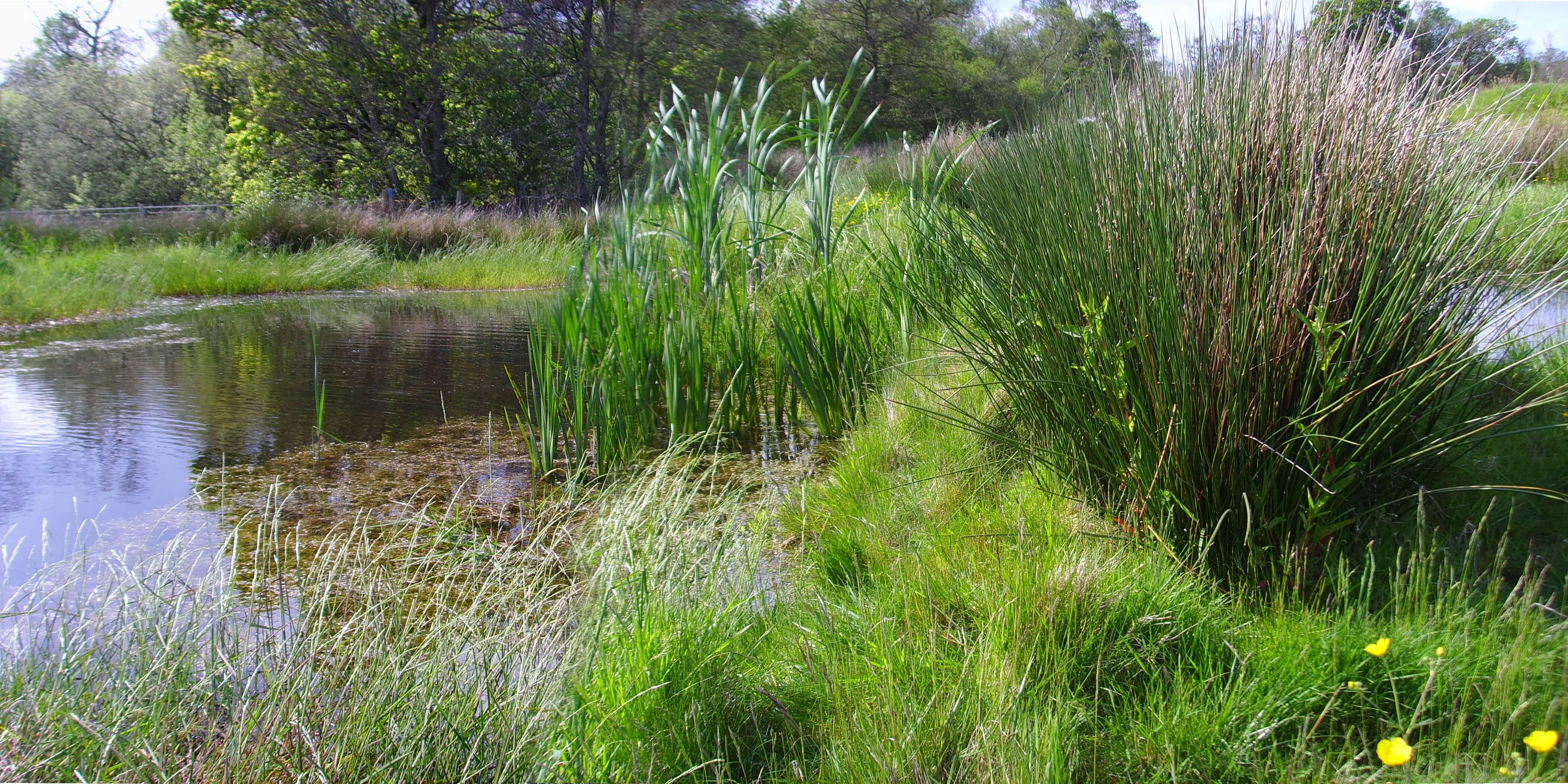
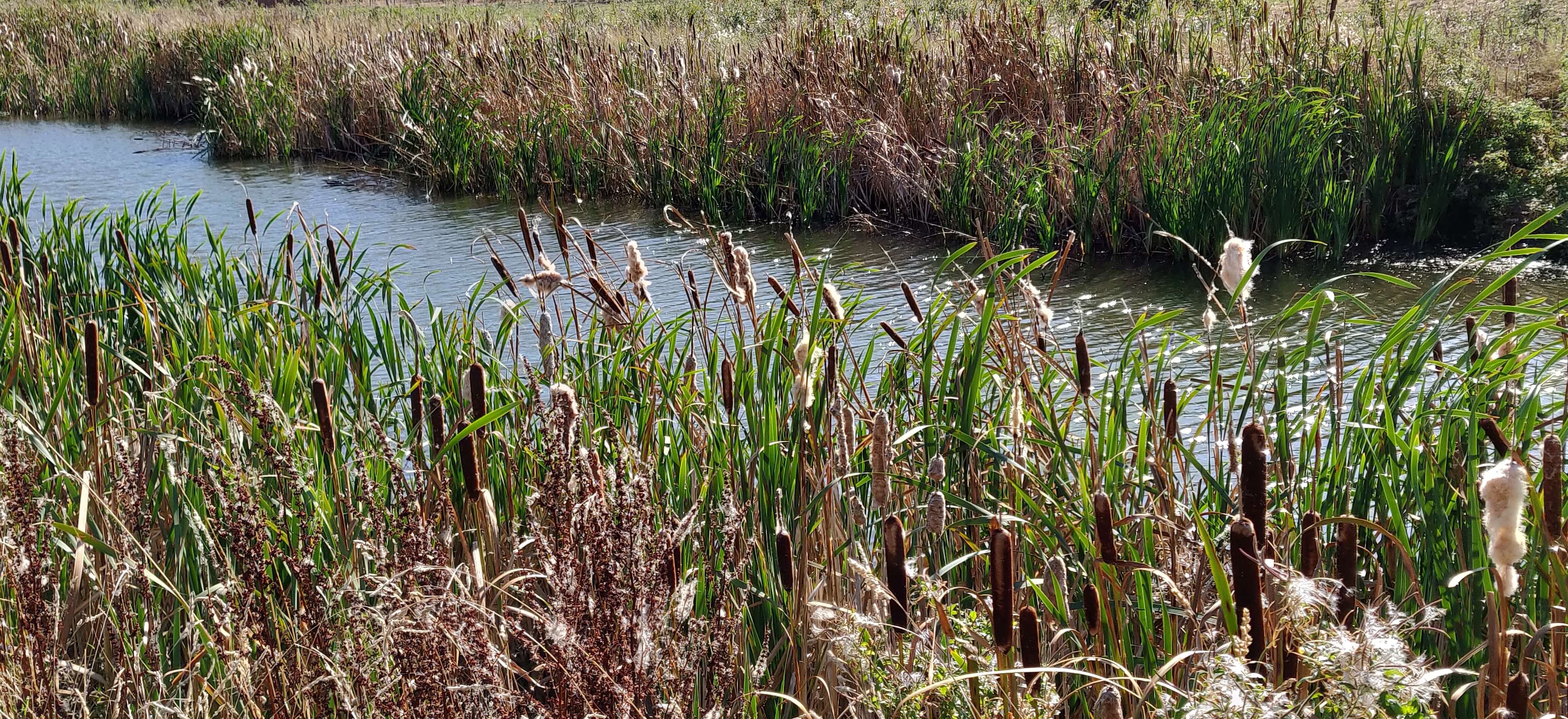
- SuDS should contribute to ditch and pond habitats. By using slow-moving channel features (e.g rills and swales) which contain standing or flowing water for the majority of the year, and ponds which hold water for four months of the year or more.
 Water quality
- New developments are required to minimise pollutant loads and show no deterioration in water quality. Each SuDS component must demonstrate how it manages the pollutants created by development (e.g. silt, petrol).
- For development within, or draining into, the Somerset Levels, the Somerset Drainage Boards Consortium, Natural England and the Environment Agency should be consulted.
 Water Level Management
- Management of water in the Levels is complex and seasonal. The Levels operate on a series of checks and balances of flow rates and volumes, controlled by pumped drainage systems, weirs and sluices.
- There are strict controls on discharges from new developments. New development should seek to reduce flood risk (see Flood Risk Policy) e.g. by providing a 'betterment (or reduction) in the existing runoff rates and volumes for the site.
- Due to the high water table in the Somerset Levels, discharge of surface water from new developments via infiltration is unlikely to be feasible.
- Attenuation features, located outside areas of fluvial flood risk, may be required to provide attenuation of post-development runoff rates and volumes.
- Managing low flows and maintaining water levels during drier months is an issue. Development which causes a loss of in-channel storage of water will not be permitted.
- SuDS should be used to increase the storage of water within the Somerset Levels, through use of ponds and wetlands, wherever possible.
 Nutrient neutrality
- The Somerset Levels and Moors Ramsar Site and the River Axe Special Area of Conservation have been identified as being in an unfavourable condition, due to the high levels of phosphates.
- All new developments and plans which may give rise to additional phosphates within these catchments must demonstrate that they are ‘nutrient neutral’ and are required to provide measures to offset the impacts of development, to avoid further damage to the habitat.
- Natural England guidance identifies SuDS as an important solution to reduce the levels of phosphates entering watercourses.
- Further guidance on phosphates in Somerset and potential mitigation measures can be found on the Somerset Council website.
South Somerset

South Somerset is the largest and most populated of the four districts in Somerset. It contains large areas of picturesque landscape, including the Blackdown Hills Area of Outstanding Natural Beauty (AONB), Cranbourne Chase and West Wilts AONB to the north east, and Dorset AONB to the south.
 Air quality
- Traffic congestion on main commuter routes within central Yeovil has resulted in reduced air quality in the town.
- The Yeovil Air Quality Management Area is in place to manage the concentration of nitrogen dioxide. Further details can be found in the Local Plan Pollution Control policy.
- Grassy SuDS features, including tree pits, green roofs and green walls, can locally improve air quality.
- The vegetation helps to filter and absorb pollutants, including nitrogen dioxide, the key pollutant in Yeovil.
 Conservation
- Local Plan policy (EQ4) requires the biodiversity value of land to be protected, and ecological 'networks' to be created within urban areas.
- Vegetated SuDS features should be designed in sequence, to form a joined-up network through development sites.
- The Somerset Levels and Moors, are located in the centre and north of the district. Staged treatment of runoff should be provided within each SuDS component, to remove site pollutants from runoff, and ensure that good quality water enters the Somerset Levels and Moors.
 Existing flood risk
- There is existing high fluvial flood risk within Langport/Huish Episcopi, from the River Parrett, as well as in Ilchester and Yeovil, from its tributary the River Yeo.
- The use of attenuation and long term storage techniques within these catchments can store runoff volumes for a longer period within the site, reducing peak flood flows for downstream communities.
- Attenuation features must be located outside areas of fluvial flood risk on the site.
- As mudstone and siltstone bedrock covers most of the district, infiltration potential may vary.
- Surface water flooding is also an issue in many of the towns in South Somerset, particularly in Yeovil.
- The risk of flooding in South Somerset is predicted to increase with climate change (see policy EQ1).
- SuDS can be used to intercept and slow existing surface water flow paths, for example in Yeovil.
 Green infrastructure
- There is a drive to increase the green infrastructure network in South Somerset (see policy EQ5).
- Ambitions include increasing tree cover, as well as creating new, and connecting existing, wildlife areas and walking/cycling routes.
- There should be a focus on delivering, 'natural' vegetated and open water SuDS components, which contribute to the green infrastructure network.
- Tree pits can be used to increase tree cover, while also managing surface water runoff generated on new development sites.
- Attractive, linked networks of SuDS features (e.g. swales, rills) can be designed to have multiple functions, such as wildlife corridors and fitness routes.
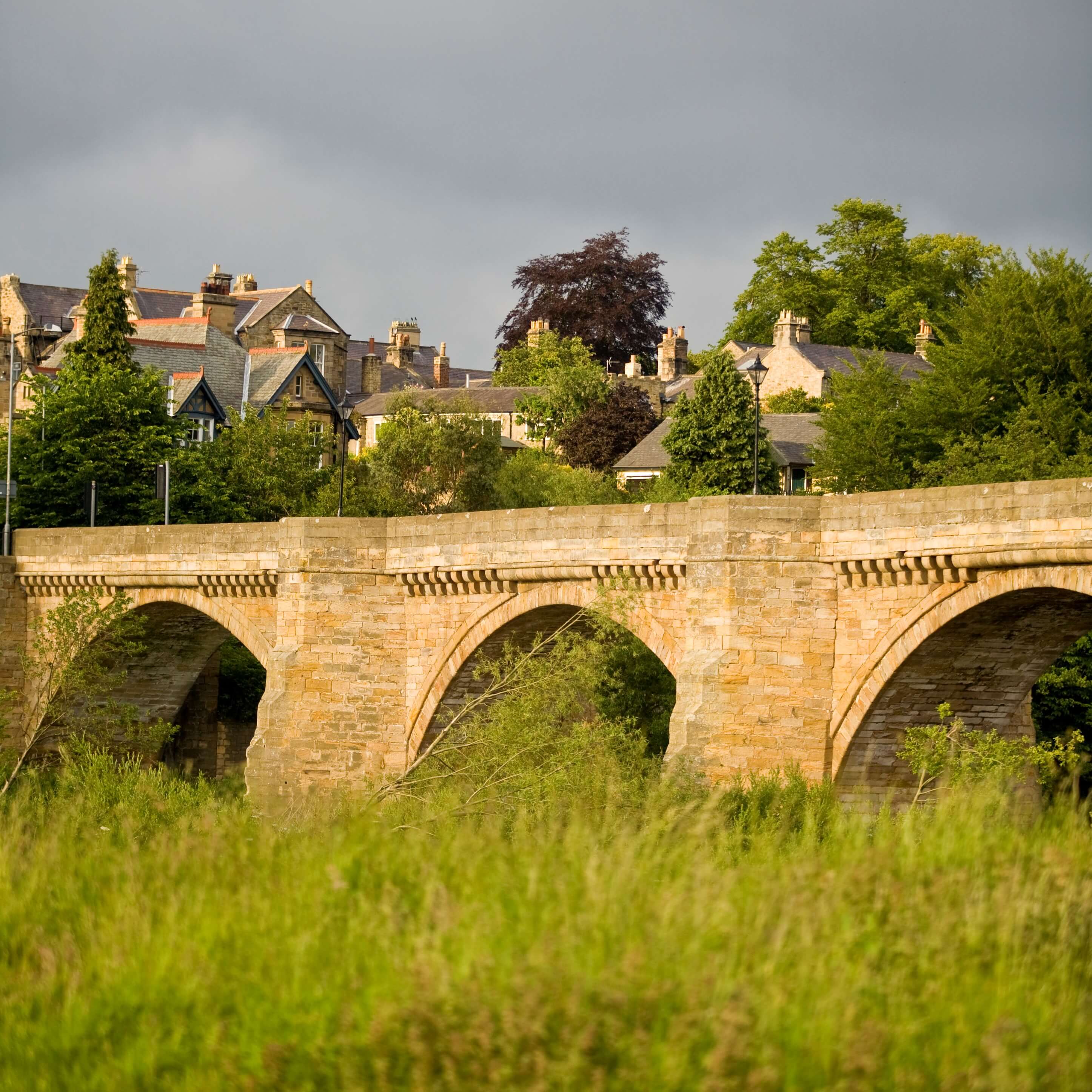
Mendip
 Glastonbury Tor, Somerset
Mendip is a rural district with a diverse landscape and rich heritage. The main settlements are Frome, Glastonbury, Shepton Mallet, Street and Wells.
The Mendip Hills in the north west of the district are a designated AONB, and also contain three Special Areas of Conservation (SACs). Fringes of the Cranbourne Chase and West Wiltshire Downs AONB, as well as the ancient Selwood Forest, form the eastern border of the district. In contrast, the low-lying Somerset Levels and Moors are located in the centre and west of the district.
 Water quality
- Water supply in the district originates from groundwater, reservoirs, local wells and springs.
- Infiltration SuDS techniques should be used to discharge treated runoff where possible, to support the quantity of groundwater.
- Proposals for infiltration in Groundwater Source Protection Zone 1 will require consultation with the Environment Agency.
- SuDS which allow the filtration and treatment of pollutants should be designed in sequence, to ensure no adverse effect on groundwater quality.
- Future water quality is a concern within the River Frome Valley, as a large amount of growth is predicted.
- Local Plan Policy (DP8) requires development to have a neutral or positive impact on the water quality of rivers and groundwater.
 Existing flood risk
- Many catchments in Mendip are steep, and respond rapidly to rainfall (see Local Plan Policy DP23).
- The highest fluvial flood risk is found in the south and west of the district, as well as in the Levels and Moors, which affects Glastonbury and surrounding villages.
- Sites draining into the Levels and Moors should use SuDS to provide attenuation and Long Term Storage where possible, to store water for longer within the site, reducing peak flood flows for downstream communities.
- Surface water flood risk also an issue, which leads to frequent highway flooding. Shepton Mallet is particularly susceptible to surface water flood risk, with concern that flood risk could be increased by new development and climate change.
- SuDS should be used to ensure tighter control on the rate and volume of surface water runoff.
 Biodiversity
- The high number of nationally and internationally designated areas in the District need to be protected and enhanced (see Mendip Biodiversity Action Plan).
- A Bat Consultation Zone is used for planning applications within designated habitats for bats e.g. Mells Valley SAC & North Somerset and Mendip Bats SAC (see DP6).
- The Somerset Levels and Mendip Hills are also key habitats for bees and other pollinators (see Somerset Pollinator Action Plan).
- When designing SuDS, consider habitats of protected species in Mendip, and incorporate use of specific planting, shade and water depths to encourage pollinators and native species.
- Importance of creating connected wildlife rich areas, to contribute to the Somerset Ecological Networks, and allow species to breed and colonise new areas (see DP5).
- Consider how individual SuDS features connect together, both for conveying and treating water, but also for providing continuous ecological corridors.
- Open water SuDS, such as vegetated rills, ponds and reedbeds, can contribute to wetland ecological networks.
 Open space and Green Infrastructure
- Local Plan policy (see DP16) requires all new development to contribute towards creating new open green spaces, as well as improving access to existing open spaces.
- Surface SuDS, like basins, wetlands and swales, can be used to deliver drainage systems which also contribute to green infrastructure and open space targets.
- Green Infrastructure Strategies are in place for each of the five main towns in the district - Frome Town, Glastonbury, Shepton Mallet, Street and Wells.
- SuDS should be incorporated into the green infrastructure network within these five towns, to manage surface water runoff within the towns, as well as to downstream communities.
 Conservation Areas
- In historic towns in the district, including Frome, Shepton Mallet and Wells, Conservation Areas are in place to ensure sympathetic housing designs.
- SuDS can be retrofitted sensitively into heritage buildings e.g. using tree pits and cobbled permeable paving.
- Local Plan policy DP3 identifies opportunities to re-use water in the home and adapt heritage assets to become more resilient to future climates.
- SuDS can also help to create sustainable new developments within Conservation Areas e.g. by incorporating swales and ponds into landscaping, or using rainwater harvesting within buildings.
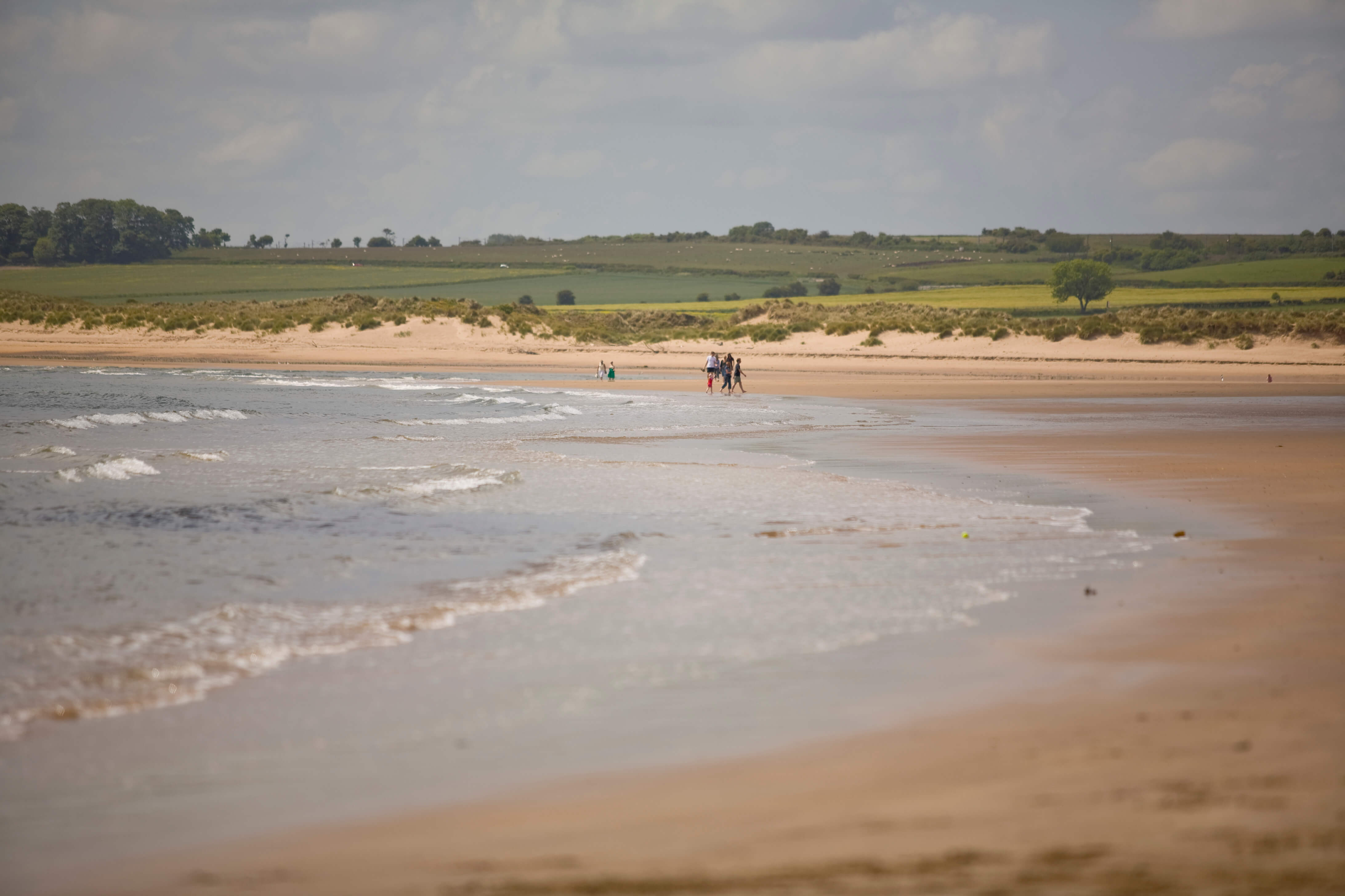
Sedgemoor
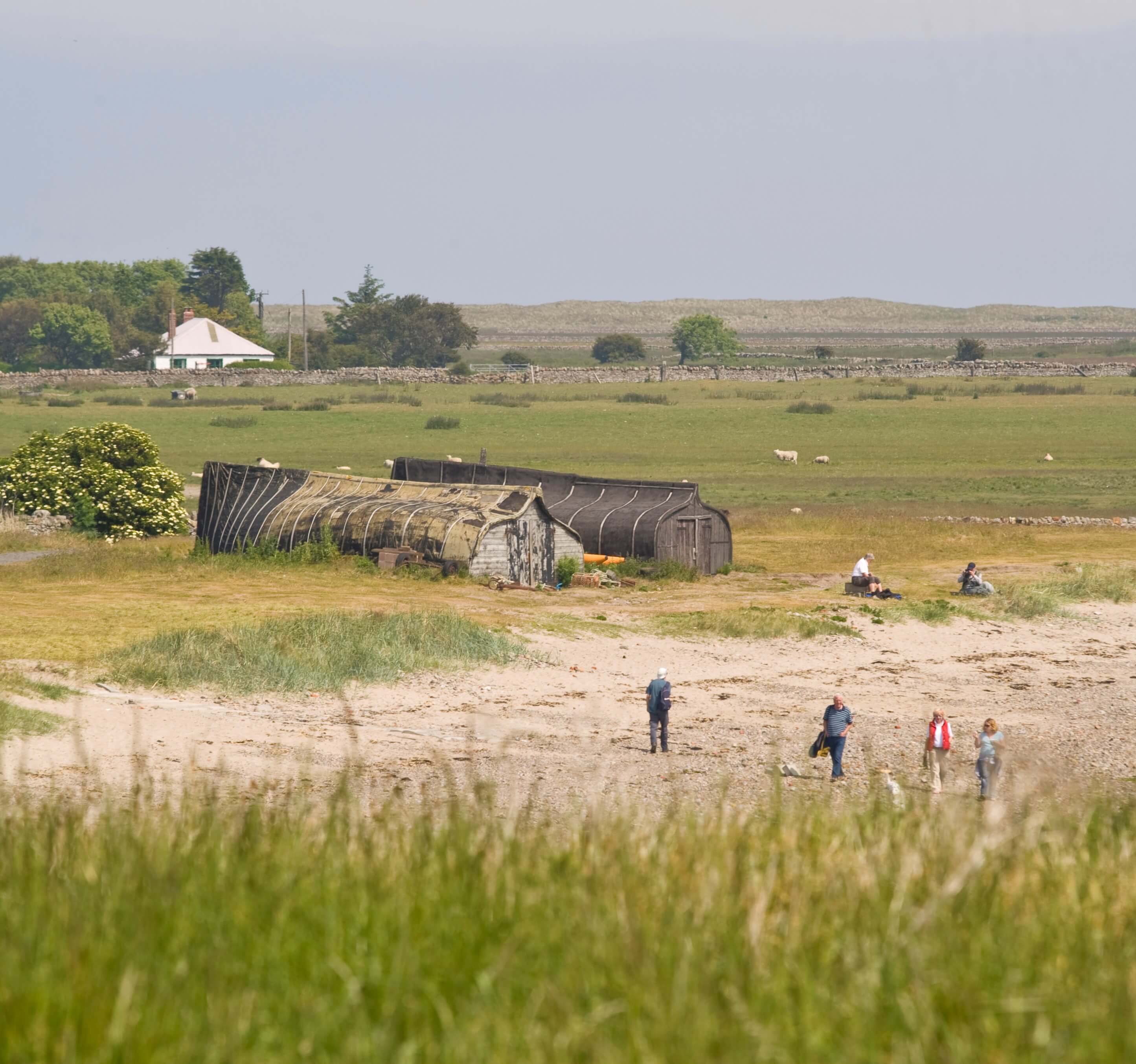
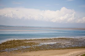 Sedgemoor coastline
Sedgemoor is a low-lying coastal district which, due to its location within the Somerset Levels and Moors, has a complex water environment. It contains the towns of Axbridge, Bridgwater and Burnham-on-Sea. Hills AONB form the northern and south western boundaries of the district.
A number of major infrastructure projects are also underway within the district, most notably a new Nuclear Power Station at Hinkley Point C.
 Biodiversity
- The Somerset Levels and Moors, and coastal strip, are important in providing biodiversity within the district.
- Design and careful planning of grassy or water-based SuDS features (such as swales, basins, rills, ponds, wetlands) can provide habitats for wetland and grassland species in new developments.
- Many habitats in the district are under pressure, for the development of recreational areas (see Local Plan policy D20).
- To avoid conflicts between recreation and habitat provision, SuDS should be located in areas of open space on sites, to allow access for people and wildlife.
- Loss of good quality agricultural soil should be avoided in new development. Where this is not possible, a Construction Soil Management Plan should be used, to make sure that soil will be protected, then recovered and enhanced post-construction.
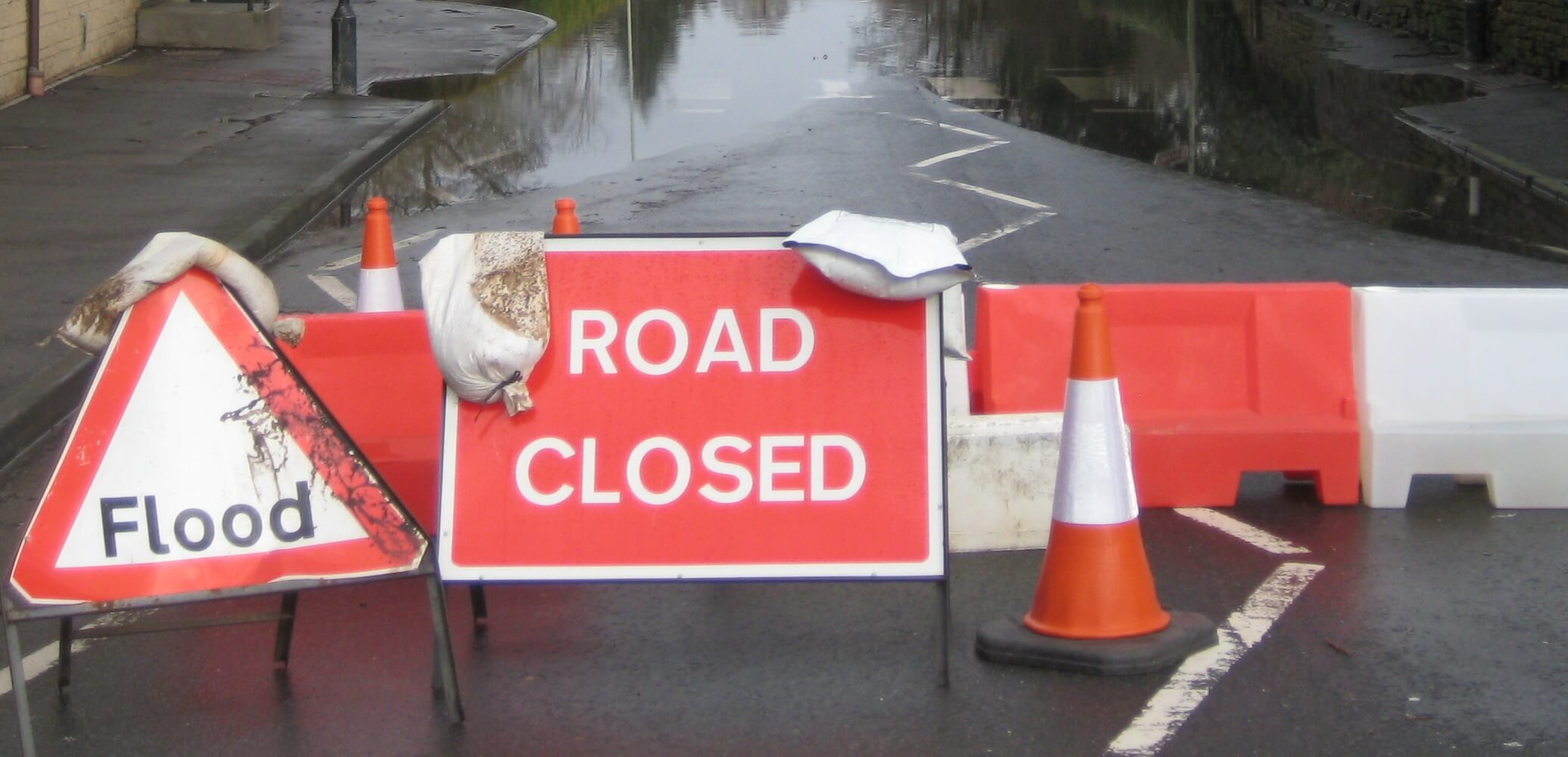
 Flood risk
- As a low-lying, coastal region, much of the district is at high risk of flooding from fluvial, tidal or surface water sources e.g. Bridgwater, Burnham-on-Sea, Highbridge, Brean and Berrow.
- Local Plan policy D1 requires development to provide an overall reduction in existing flood risk at the site.
- Discharge rates and volumes from developments should consider the existing flood risk within the wider catchment, and look to improve flood risk, wherever possible.
- The site drainage system must be designed to retain water on site (without causing flooding to property) during periods of high tide, when the system is unable to discharge.
- Flat topography, poor ground conditions and high water tables must be factored into SuDS designs within Sedgemoor District.
- Infiltration may not be feasible in areas of the district, due to high groundwater levels. Options for above ground attenuation and long term storage SuDS features, located outside areas of fluvial flood risk, should be used where appropriate.
- The wider impact of discharging new developments into surface water sewers and culverted watercourses must be considered, as there may be restrictions in pipe capacity further downstream.
 Multi-functional SuDS
- Local Plan policy (D30 and D1) specifies a requirement for multi-functional green infrastructure and SuDS, which are accessible, and provide leisure and play spaces (see D28).
- SuDS components can contribute multiple functions on a development site e.g. tree pits can provide shade, improvement to air quality, and manage surface water runoff.
- New road and footpath networks are encouraged to contribute towards managing surface water runoff (see D13), as well as providing shade and improving air quality.
- SuDS should be incorporated into roads and footpaths within new developments e.g. by using swales and permeable paving.
- Master-planning of strategic sites should include a continuous network of green spaces, which is linked to green infrastructure beyond the sites (see D30).
- Linear SuDS features (e.g. swales, rills and filter strips) can be used to provide linkages with existing green spaces outside the site.
 Water quality
- Development above groundwater aquifers or within Groundwater Source Protection Zones (GSPZ) is required to demonstrate no deterioration in water quality below ground (see Local Plan Policy D24).
- The Environment Agency should be consulted for infiltration proposals in GSPZ1, to ensure there will be no negative impact on groundwater quality.
- SuDS features with good filtration properties (such as swales, permeable paving and filter strips) should be prioritised, to encourage the fall out of pollutants and groundwater recharge.
- SuDS features should be designed in sequence, to provide sufficient treatment of runoff. In the event that one feature fails or becomes blocked, the runoff will still undergo at least one stage of treatment, preventing uncontrolled discharge of polluted runoff.
 Marine Plan
- The South West Marine Plan was published in June 2021.
- Marine Plans are a material consideration and upon adoption become statutory.
- Marine plans guide those who use and regulate the marine area to encourage sustainable development while considering the environment, economy and society.
- Marine plans apply only in their area, but if a proposed activity may affect the plan area, this should be acknowledged and considered in the application and decision making.
Somerset West and Taunton
 The former administrative areas of West Somerset Council and Taunton Dean Borough Council combined in April 2019, to form single district of Somerset West and Taunton. The district covers the major towns of Taunton and Wellington, with Taunton awarded Garden Town status in 2017. The landscape extends from the coastline in the north, to the Blackdown Hills and Quantocks Hills AONB, as well as Somerset Levels and Moors to the east, and the Brendon Hills AONB and Exmoor National Park to the west.
 Biodiversity
- Existing Local Plan policy (see Somerset West Policy NH7) requires the unique landscapes of the district to be enhanced, through maintaining local green spaces and green infrastructure networks.
- Natual, landscaped SuDS features can be designed using planting and water features native to the Levels and Moors, AONB and Severn Estuary landscapes.
- Developments must provide a net gain in biodiversity, including re-wilding and tree planting.
- SuDS should be multi-functional and mimic nature, in order to contribute to a net biodiversity gain for the development.
- The impact of climate change on biodiversity must be taken into account, and habitats provided for species to adapt to change.
- SuDS design should consider amenity and habitats under a warmer future climate, considering use of shade, open water, and grassy surfaces, wherever possible.
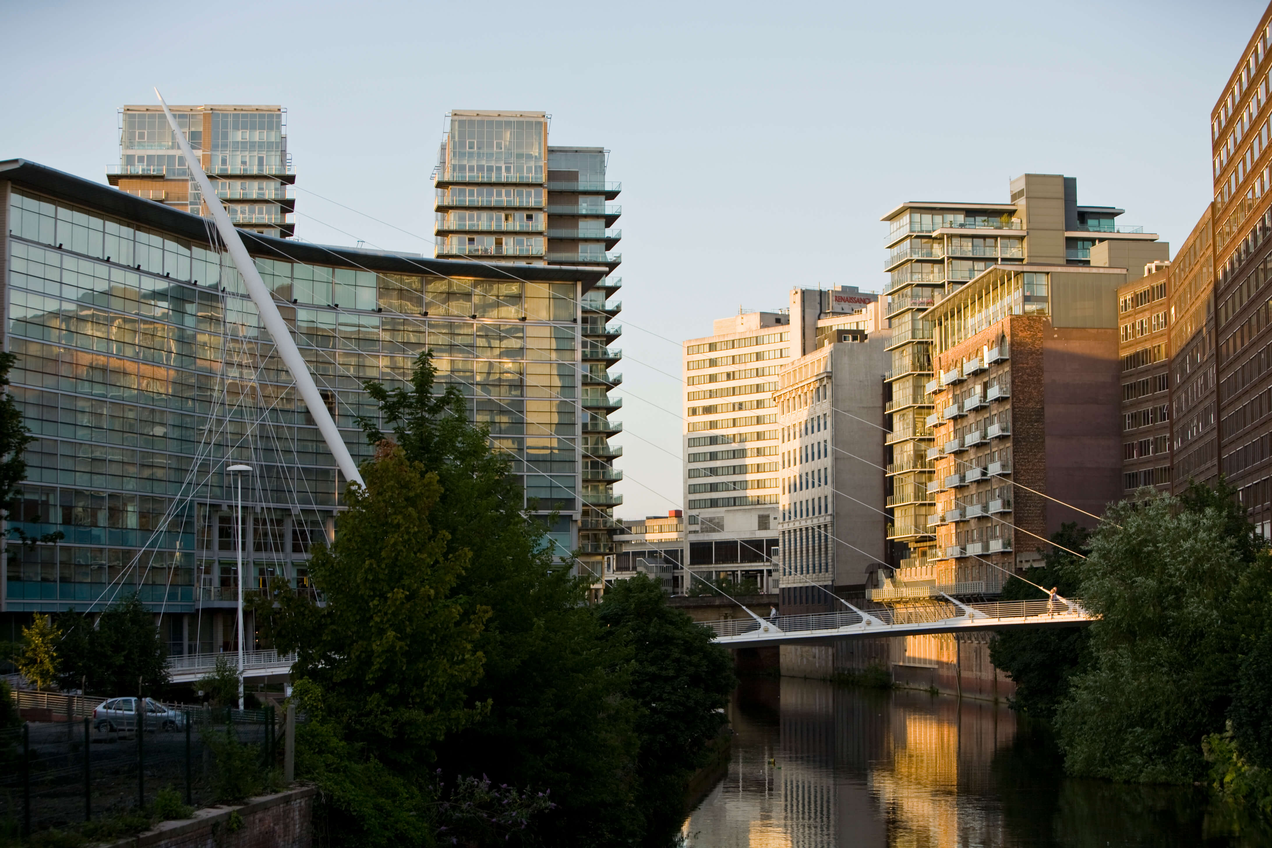
 Taunton Garden Town
- The Taunton Garden Town vision focuses on:
- protecting and extending a network of green and blue infrastructure
- prioritising access for pedestrians and cyclists.
- improving access to Taunton's waterways, in particular the River Tone.
- improving air quality around A358 in Henlade and East Reach, Taunton (see Taunton Deane Air Quality Action Plan).
- managing fluvial flooding, through the Taunton Strategic Flood Alleviation Improvements Scheme.
- encouraging the use of SuDS in public spaces and landscape design (see the The Garden Town Design Checklist).
- The Taunton Garden Town proposals provide many opportunities for delivering attractive, multi-functional SuDS.
- Education boards can be used to identify SuDS features, and to explain the pathways of water, from rainfall to entering the River Tone, a key feature of the Taunton Garden Town.
- Using natural SuDS can provide 'greener' urban spaces, and water-based SuDS (e.g. rills, ponds and wetlands) can form blue corridors across Taunton Town Centre, eventually discharging into the River Tone.
- Grassy SuDS features, such as tree pits, green roofs and green walls, can contribute to localised improvements in air quality around Henlade and East Reach.
 Amenity
- 'Active Design' measures are required, to connect up walking and cycling networks through individual development sites.
- Integrating above ground, landscaped SuDS (e.g. basins, swales, wetlands, green roofs) into development sites, provides attractive spaces to meet, exercise and play.
- There is a focus on protecting open recreation spaces, and creating multi-purpose community spaces, which provide landscaping, public art and tree planting.
- Hard landscaped SuDS, such as rills and geometric ponds, can be incorporated into street design, or used to create structural water features within urban areas.
 Flood risk
- There is a wide range of flood risk across the district, with coastal flooding between Blue Anchor and Minehead; fluvial flooding from the Rivers Tone, Exe and Parrett; and surface water flooding issues in Carhampton and Williton (see Taunton Deane Policy EN29 and Somerset West Policy CC2).
- Long term storage of runoff within site boundaries (e.g. within ponds and basins) will delay and lessen the impact of peak flow on downstream communities currently at risk.
- Drainage design can be challenging, with steep, impermeable catchments, complex surface water flow paths, and tidal constraints along the northern coastline. Some towns, such as Minehead, are particularly constrained.
- Source control SuDS (e.g. permeable paving and green roofs) will play an important role in managing rain where it falls, and reducing existing surface water flood risk.
- Coverage of watercourses and surface water sewers across the district is sparse, and finding appropriate discharge locations from new development sites can be challenging.
- In these areas, early consultation with the LLFA, Somerset Consortium of Drainage Boards and Wessex Water will be required, to reach a discharge solution.
- As part of the Somerset SPONGE Project, SuDS retrofit is underway in Taunton, within the target areas of Norton Fitzwarren, Priorswood, Halcon, Eastgate and Blackbrook and Holway.
- West Somerset Flood Group aim to help local communities at risk of flooding.
 Designing for the climate emergency
- Emerging Local Plan policy (see Issues and Options: Objective 4) identified a need for more sustainable urban design, which takes into account our future climate.
- This includes more tree planting in towns, for shade and wildlife corridors, and sustainable management of surface water from new development.
- SuDS should be designed to provide shade and cooler temperatures, in a warmer future climate. This can be delivered through vegetated features e.g. green walls, tree pits, raingardens and green roofs.
- To account for future increases in rainfall intensity, SuDS features must be designed to the latest Environment Agency climate change allowances.
- SuDS should encourage the sustainable re-use of water e.g. using raingardens and rainwater harvesting in buildings.
 Marine Plan
- The South West Marine Plan was published in June 2021.
- Marine Plans are a material consideration and upon adoption become statutory.
- Marine plans guide those who use and regulate the marine area to encourage sustainable development while considering the environment, economy and society.
- Marine plans apply only in their area, but if a proposed activity may affect the plan area, this should be acknowledged and considered in the application and decision making.
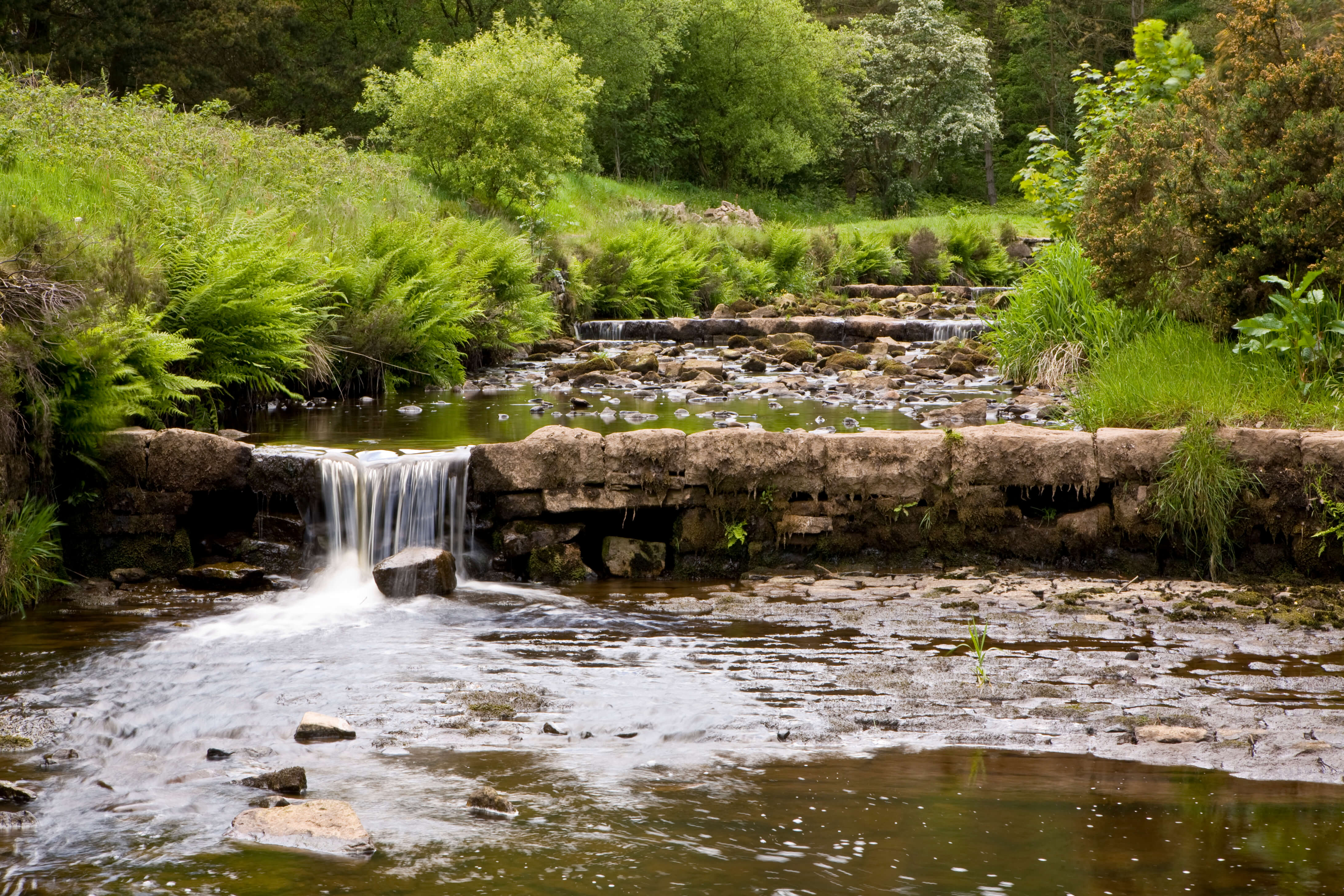
Exmoor National Park

Exmoor National Park contains a wide range of habitats, including coastline, oak woodland and moorland, with almost one third of the National Park protected by nationally and internationally designated sites.
The National Park has an extensive rights of way network, which provides access to the countryside for walkers, horse riders and cyclists.
 Flood risk
- Catchments in Exmoor respond rapidly to rainfall, due to the steep hills, land drainage schemes and compacted soils (see Policy CC-D1 and CC-S1).
- SuDS should aim to slow runoff velocities, e.g. through the use of check dams. Erosion protection is also likely to be required for SuDS components on steep slopes.
- SuDS in Exmoor National Park will need to provide storage during flood events and slow the rate of overland flows reaching downstream towns and villages.
- Natural Flood Management opportunities are also being considered within Exmoor National Park.
 Water Conservation and Quality
- The National Park is an important source of water, and supplies a large number of towns and villages in Somerset and Devon.
- Due to increase in water demand from population growth and climate change (see CC-S1), development is required to conserve water (see CC-D2).
- Rainwater harvesting tanks and raingardens can be installed into new developments, to collect, store and re-use rainfall, reducing the demand for clean water supply.
- Water quality in the National Park is vulnerable to pollution from nutrients, sediment and other pollutants.
- Local Plan policy CC-S7) identifies SuDS as key to minimising pollution from new developments and sustaining baseflow for rivers.
- SuDS which allow infiltration (e.g. soakaways, infiltration basins and permeable paving) are encouraged, to allow runoff from the development to recharge baseflow in rivers. This will help to dilute pollutants, and maintain river and wetland wildlife.
 Biodiversity
- Exmoor National Park is home to a range of wildlife, including wild red deer, lichen, rare butterflies and bats.
- Natural, grassy or water-based SuDS components should be used wherever possible, to provide habitats for species native to the National Park.
- SuDS should be planned around existing landscape assets, and reflect the priorities for each landscape type in Exmoor Landscape Action Plan.
- A key aim of the Local Plan is to enhance this biodiversity and create green infrastructure networks with many functions (see CE-S3). These uses include public space and recreation (see RT-S1), access to nature for people and wildlife (see RT-D12), improved health and wellbeing (see HC-S6), education on the environment and adapting to climate change (see CC-S1).
- SuDS should be designed into public open spaces, with a focus on amenity, to encourage social activity and to improve health and wellbeing.